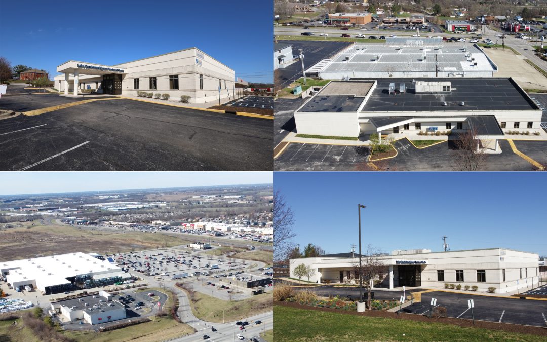
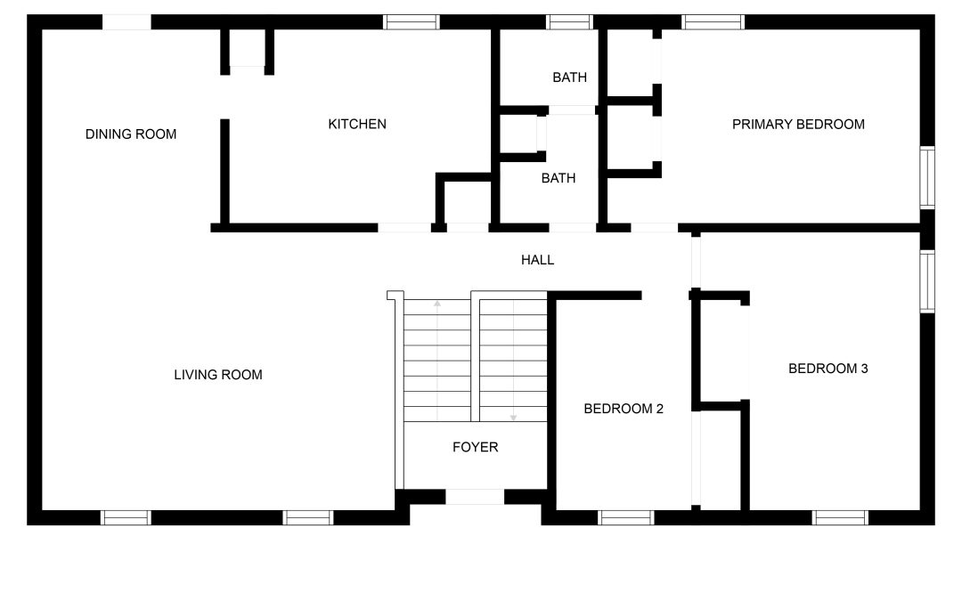
Traditional real estate photography involves taking pictures of a home from the ground level, typically with a wide-angle lens. This type of photography is often used to show the layout of a home and its features. But by adding aerial photography, you can get better property images as well.
Aerial photography is a great way to get a different perspective on homes. By capturing homes from a bird’s eye view, potential buyers can get a better sense of the layout and design of the property. This type of photography is especially useful for real estate and construction companies who want to showcase their properties in the best light possible.
There are several advantages of using a drone to show potential buyers more about the property being listed.
- What exactly is for sale
- What is available around the area
- What all is included on the property
Aerial Property images can show what exactly is for sale
Sometimes when you list a property, it is hard to get a good understanding of what is included in the sale when it comes to boundary lines. By using a drone, you can get a high overhead shot of the property and highlight what is included.
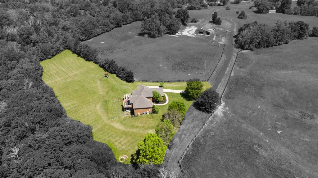
As you can see in this image, I have highlighted the part of the land that is included with this property. I was able to fly high enough to get all of the property in the shot and then edit the photo to show what all is included. This can help buyers in knowing what exactly they are looking to buy. Aerial photos can also help in seeing where property lines are in a subdivision.
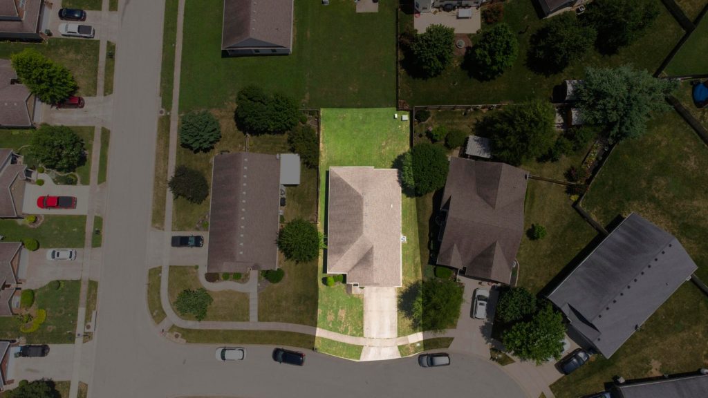
The image above highlights the home listed and the property included.
Aerial Property images will show what is available around the area
But the property included is not the only advantage. Aerial images can give you and buyers a better understanding of the entire neighborhood and not just the street the home is on. Are there any schools nearby? Is there anything for my kids to do close to home? By adding drone images, you can see what is nearby.
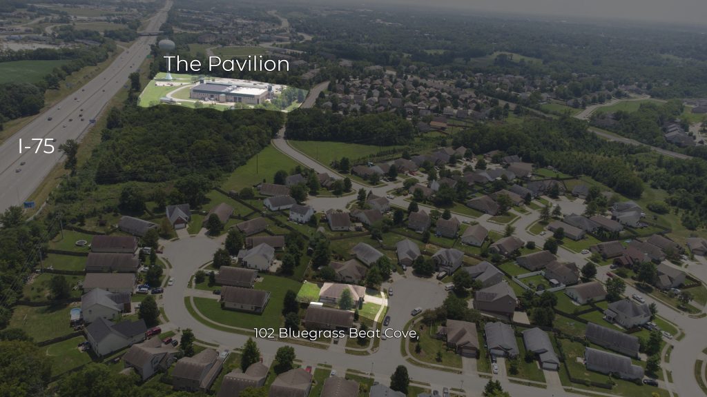
This image highlights the property being listed along with its relation to a nearby park and recreational facility which include an indoor pool as well as how close to the interstate it is. When you look at it, you can see that you can drive to the facility without leaving the subdivision.
You can also show how close a property is to places like schools or shopping centers. An aerial view will allow you to get angles of the property that can show a lot larger area.
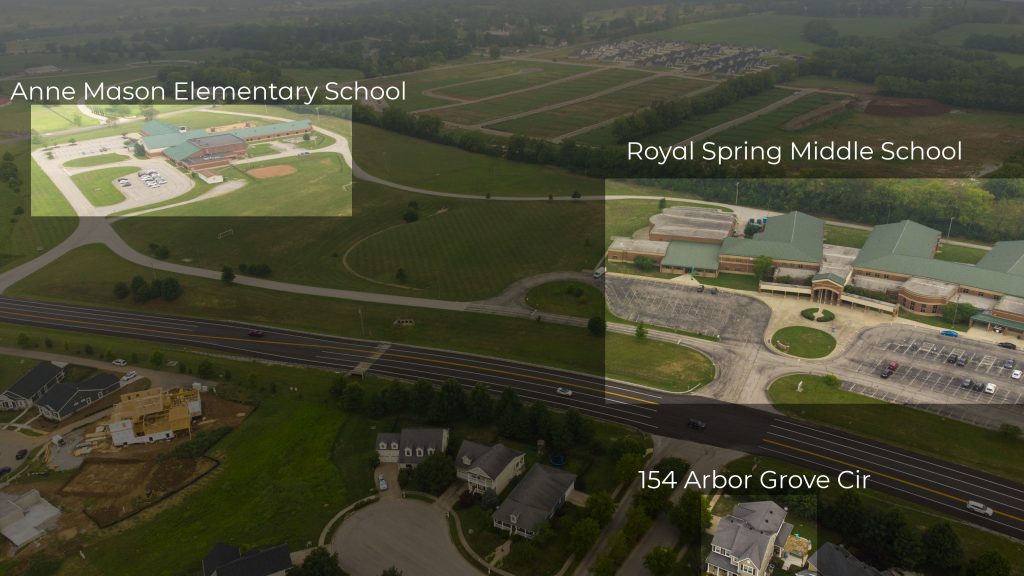
By highlighting the areas, you can see that the schools are just across the street from the home and you can label them to see what schools they are.
Aerial Property images will show what is included on the property
Sometimes the property includes features that a basic straight-on shot just won’t do justice. Like a patio or a deck, you can’t always see all of the details of the area while an aerial image will show you the depth of the area along with the overall size.
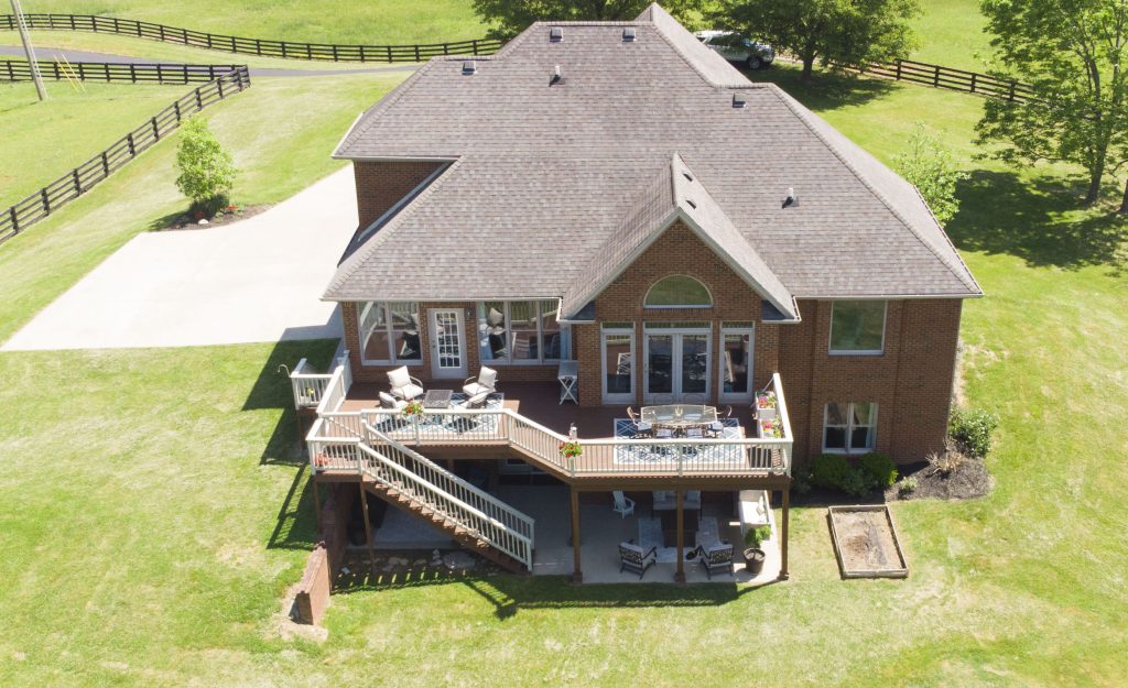
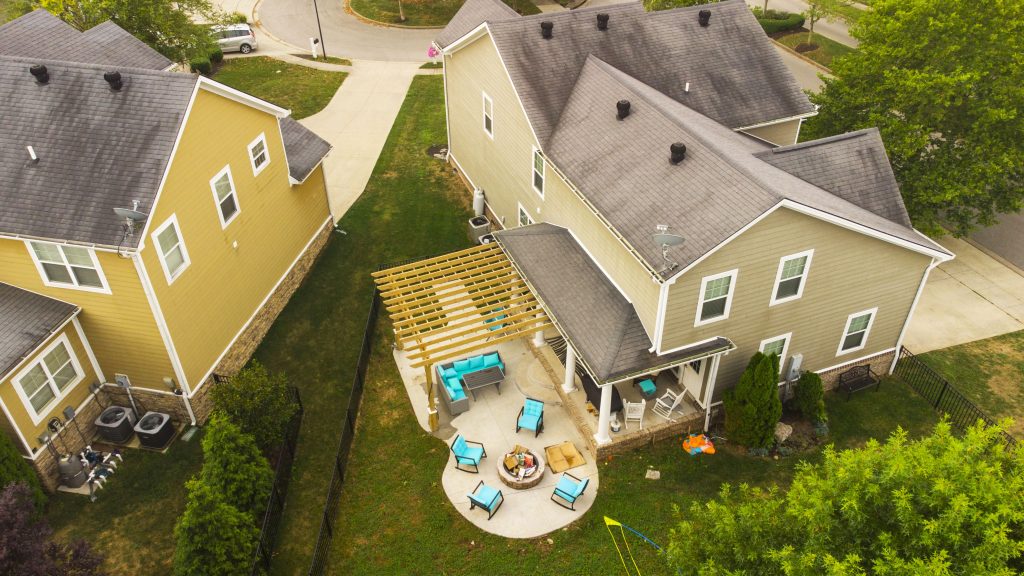
As you can see in the images above, both show an overall view of the deck or patio and gives you a better feel for the layout.
While normal ground-level photos are still the most common photos for a real estate listing, by adding drone photos, you open up a whole new perspective of the home for your listings. If you would like to talk about adding aerial images to your listings, feel free to reach out to me here.
